
Centro America topographic map
Interactive map
Click on the map to display elevation.
About this map
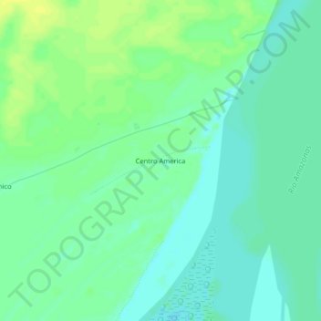
Name: Centro America topographic map, elevation, terrain.
Location: Centro America, Fernando Lores, Maynas, Loreto, Perú (-4.13105 -73.22630 -4.09105 -73.18630)
Average elevation: 90 m
Minimum elevation: 82 m
Maximum elevation: 99 m