
La Pila topographic map
Interactive map
Click on the map to display elevation.
About this map
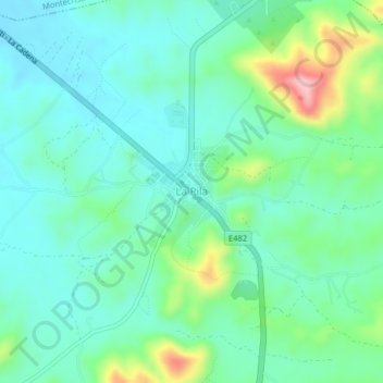
Name: La Pila topographic map, elevation, terrain.
Location: La Pila, Parroquia La Pila, Montecristi, Manabí, Ecuador (-1.12802 -80.60466 -1.08802 -80.56466)
Average elevation: 219 m
Minimum elevation: 167 m
Maximum elevation: 382 m