
东咀 topographic map
Interactive map
Click on the map to display elevation.
About this map
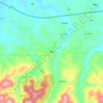
Name: 东咀 topographic map, elevation, terrain.
Location: 东咀, 荥阳市, 郑州市, 河南省, 中国 (34.62309 113.38953 34.66309 113.42953)
Average elevation: 290 m
Minimum elevation: 196 m
Maximum elevation: 494 m
Other topographic maps
Click on a map to view its topography, its elevation and its terrain.