
Thank you for supporting this site ❤️
Make a donation
Make a donation
Wanzoul topographic map
Click on the map to display elevation.
Thank you for supporting this site ❤️
Make a donation
Make a donation
About this map
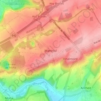
Name: Wanzoul topographic map, elevation, terrain.
Location: Wanzoul, Wanze, Huy, Liège, Wallonie, 4520, Belgique (50.54599 5.19389 50.58599 5.23389)
Average elevation: 154 m
Minimum elevation: 74 m
Maximum elevation: 205 m
Thank you for supporting this site ❤️
Make a donation
Make a donation
Other topographic maps
Click on a map to view its topography, its elevation and its terrain.
Thank you for supporting this site ❤️
Make a donation
Make a donation