
Thank you for supporting this site ❤️
Make a donation
Make a donation
Umangan topographic map
Click on the map to display elevation.
Thank you for supporting this site ❤️
Make a donation
Make a donation
About this map
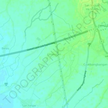
Name: Umangan topographic map, elevation, terrain.
Location: Umangan, Nueva Ecija, Central Luzon, Philippines (15.49946 120.89832 15.53946 120.93832)
Average elevation: 32 m
Minimum elevation: 27 m
Maximum elevation: 39 m
Thank you for supporting this site ❤️
Make a donation
Make a donation