
Moignelée topographic map
Interactive map
Click on the map to display elevation.
About this map
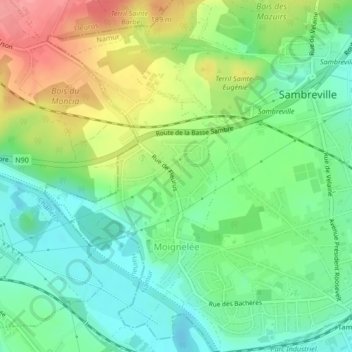
Name: Moignelée topographic map, elevation, terrain.
Location: Moignelée, Sambreville, Namur, Wallonie, Belgique (50.43161 4.57269 50.45479 4.59341)
Average elevation: 122 m
Minimum elevation: 85 m
Maximum elevation: 183 m
Other topographic maps
Click on a map to view its topography, its elevation and its terrain.