
Thank you for supporting this site ❤️
Make a donation
Make a donation
Couillet topographic map
Click on the map to display elevation.
Thank you for supporting this site ❤️
Make a donation
Make a donation
About this map
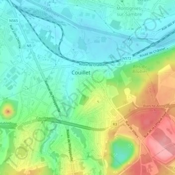
Name: Couillet topographic map, elevation, terrain.
Location: Couillet, Charleroi, Hainaut, Wallonia, 6010, Belgium (50.37602 4.45348 50.40170 4.49472)
Average elevation: 135 m
Minimum elevation: 96 m
Maximum elevation: 214 m
Thank you for supporting this site ❤️
Make a donation
Make a donation
Other topographic maps
Click on a map to view its topography, its elevation and its terrain.