Geolocate

McDonough County topographic map

Interactive map

Click on the map to display elevation.

About this map

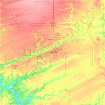
Name: McDonough County topographic map, elevation, terrain.

Location: McDonough County, Illinois, United States of America (40.27704 -90.90984 40.63747 -90.44570)

Average elevation: 204 m

Minimum elevation: 149 m

Maximum elevation: 245 m

Other topographic maps

Click on a map to view its topography, its elevation and its terrain.

Freeport

United States of America > Illinois > Freeport

Average elevation: 244 m

Golconda

United States of America > Illinois > Golconda

Average elevation: 112 m

Cook County

United States of America > Illinois

Average elevation: 197 m