
濮阳市 topographic map
Interactive map
Click on the map to display elevation.
About this map
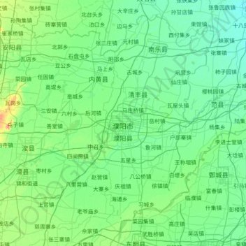
Name: 濮阳市 topographic map, elevation, terrain.
Location: 濮阳市, Henán, China (35.33204 114.86364 36.21297 116.09719)
Average elevation: 55 m
Minimum elevation: 39 m
Maximum elevation: 186 m
Other topographic maps
Click on a map to view its topography, its elevation and its terrain.