
Süsterseel topographic map
Interactive map
Click on the map to display elevation.
About this map
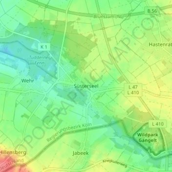
Name: Süsterseel topographic map, elevation, terrain.
Average elevation: 62 m
Minimum elevation: 38 m
Maximum elevation: 101 m
Other topographic maps
Click on a map to view its topography, its elevation and its terrain.
Tüddern
Deutschland > Nordrhein-Westfalen > Kreis Heinsberg > Selfkant
Tüddern, Selfkant, Kreis Heinsberg, Nordrhein-Westfalen, Deutschland
Average elevation: 47 m