
Guerrero Negro topographic map
Interactive map
Click on the map to display elevation.
About this map
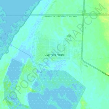
Name: Guerrero Negro topographic map, elevation, terrain.
Location: Guerrero Negro, Mulegé, Baja California Sur, México (27.93095 -114.07639 28.01095 -113.99639)
Average elevation: 3 m
Minimum elevation: -6 m
Maximum elevation: 12 m