
水阳镇 topographic map
Interactive map
Click on the map to display elevation.
About this map
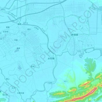
Name: 水阳镇 topographic map, elevation, terrain.
Location: 水阳镇, 宣州区, 宣城市, 安徽省, 中国 (31.15210 118.64239 31.32468 118.79254)
Average elevation: 16 m
Minimum elevation: 2 m
Maximum elevation: 319 m