
Loving topographic map
Interactive map
Click on the map to display elevation.
About this map
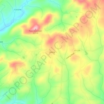
Name: Loving topographic map, elevation, terrain.
Location: Loving, Fannin County, Georgia, 30560, United States (34.90008 -84.24103 34.94008 -84.20103)
Average elevation: 577 m
Minimum elevation: 482 m
Maximum elevation: 683 m