
Canary topographic map
Interactive map
Click on the map to display elevation.
About this map
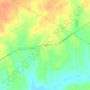
Name: Canary topographic map, elevation, terrain.
Location: Canary, Leon County, Texas, Estados Unidos de América (30.97352 -96.19829 31.01352 -96.15829)
Average elevation: 108 m
Minimum elevation: 86 m
Maximum elevation: 131 m