
Vemagal topographic map
Interactive map
Click on the map to display elevation.
About this map
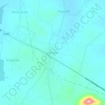
Name: Vemagal topographic map, elevation, terrain.
Location: Vemagal, Kolar taluk, Kolar district, Karnataka, India (13.17235 77.99935 13.21235 78.03935)
Average elevation: 857 m
Minimum elevation: 831 m
Maximum elevation: 1,068 m