
Nedugula topographic map
Click on the map to display elevation.
About this map
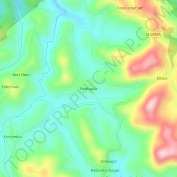
Name: Nedugula topographic map, elevation, terrain.
Location: Nedugula, Kotagiri, Nilgiris, Tamil Nadu, 643217, India (11.45632 76.87048 11.49632 76.91048)
Average elevation: 1,886 m
Minimum elevation: 1,773 m
Maximum elevation: 2,115 m