
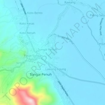
Gedang topographic map
Interactive map
Click on the map to display elevation.
About this map
Name: Gedang topographic map, elevation, terrain.
Location: Gedang, Sungai Penuh, Jambi, 37174, Indonesia (-2.08235 101.38059 -2.04235 101.42059)
Average elevation: 830 m
Minimum elevation: 782 m
Maximum elevation: 1,231 m