
Thank you for supporting this site ❤️
Make a donation
Make a donation
Weir topographic map
Click on the map to display elevation.
Thank you for supporting this site ❤️
Make a donation
Make a donation
About this map
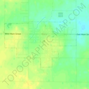
Name: Weir topographic map, elevation, terrain.
Location: Weir, Cherokee County, Kansas, United States (37.30000 -94.78772 37.31382 -94.75983)
Average elevation: 281 m
Minimum elevation: 269 m
Maximum elevation: 289 m
Thank you for supporting this site ❤️
Make a donation
Make a donation
Other topographic maps
Click on a map to view its topography, its elevation and its terrain.