
彰冠镇 topographic map
Interactive map
Click on the map to display elevation.
About this map
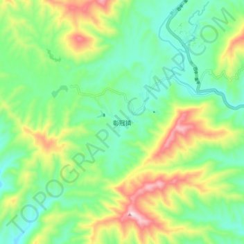
Name: 彰冠镇 topographic map, elevation, terrain.
Location: 彰冠镇, 会理市, 凉山彝族自治州, 四川省, 中国 (26.46927 102.24588 26.54927 102.32588)
Average elevation: 1,840 m
Minimum elevation: 1,680 m
Maximum elevation: 2,158 m
Other topographic maps
Click on a map to view its topography, its elevation and its terrain.