
桥独屯 topographic map
Interactive map
Click on the map to display elevation.
About this map
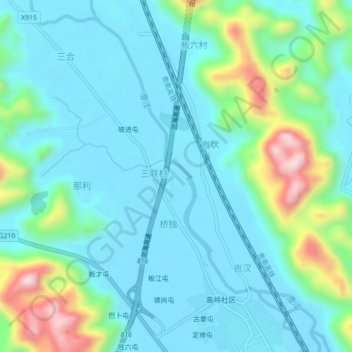
Name: 桥独屯 topographic map, elevation, terrain.
Location: 桥独屯, 三联村, 都安瑶族自治县, 河池市, 广西壮族自治区, 中国 (24.06204 108.02175 24.10204 108.06175)
Average elevation: 247 m
Minimum elevation: 160 m
Maximum elevation: 576 m