
Thank you for supporting this site ❤️
Make a donation
Make a donation
Chimegaon topographic map
Click on the map to display elevation.
Thank you for supporting this site ❤️
Make a donation
Make a donation
About this map
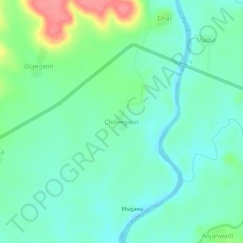
Name: Chimegaon topographic map, elevation, terrain.
Location: Chimegaon, Aundha (Nagnath), Hingoli, Maharashtra, India (19.51229 76.93790 19.55229 76.97790)
Average elevation: 404 m
Minimum elevation: 381 m
Maximum elevation: 466 m
Thank you for supporting this site ❤️
Make a donation
Make a donation