
Rock Creek topographic map
Interactive map
Click on the map to display elevation.
About this map
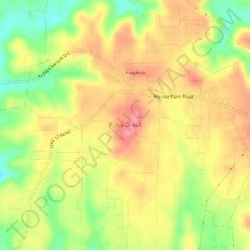
Name: Rock Creek topographic map, elevation, terrain.
Location: Rock Creek, Jefferson County, Alabama, United States (33.45912 -87.09820 33.49487 -87.06435)
Average elevation: 148 m
Minimum elevation: 95 m
Maximum elevation: 188 m