
Agua Azul topographic map
Interactive map
Click on the map to display elevation.
About this map
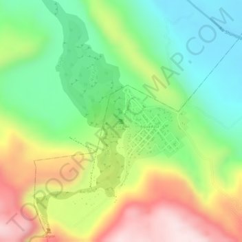
Name: Agua Azul topographic map, elevation, terrain.
Location: Agua Azul, Chilón, Chiapas, México (17.25516 -92.11508 17.25526 -92.11498)
Average elevation: 251 m
Minimum elevation: 73 m
Maximum elevation: 477 m