
Thank you for supporting this site ❤️
Make a donation
Make a donation
Coal City topographic map
Click on the map to display elevation.
Thank you for supporting this site ❤️
Make a donation
Make a donation
About this map
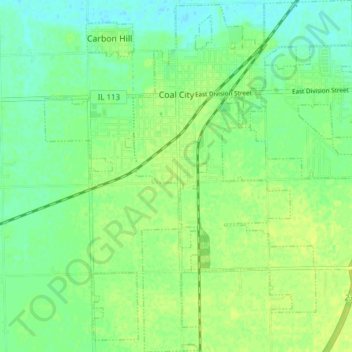
Name: Coal City topographic map, elevation, terrain.
Location: Coal City, Grundy County, Illinois, 60416, United States (41.24567 -88.31427 41.30318 -88.24246)
Average elevation: 172 m
Minimum elevation: 164 m
Maximum elevation: 178 m
Thank you for supporting this site ❤️
Make a donation
Make a donation
Other topographic maps
Click on a map to view its topography, its elevation and its terrain.