Geolocate

Kergaït topographic map

Interactive map

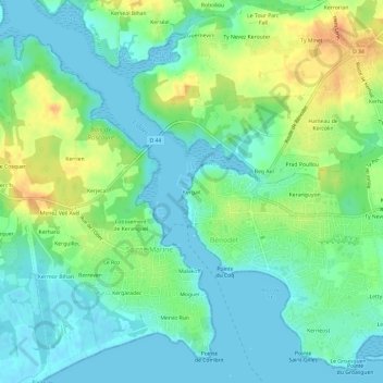
Click on the map to display elevation.

About this map

Name: Kergaït topographic map, elevation, terrain.

Location: Kergaït, Bénodet, Quimper, Finistère, Bretagne, France métropolitaine, 29950, France (47.85963 -4.13603 47.89963 -4.09603)

Average elevation: 14 m

Minimum elevation: -1 m

Maximum elevation: 40 m

Other topographic maps

Click on a map to view its topography, its elevation and its terrain.

Keranguyon

France > Bretagne > Finistère > Bénodet

Keranguyon, Bénodet, Quimper, Finistère, Bretagne, France métropolitaine, 29950, France

Average elevation: 14 m

Kernéost

France > Bretagne > Finistère > Bénodet

Kernéost, Bénodet, Quimper, Finistère, Bretagne, France métropolitaine, 29950, France

Average elevation: 6 m

Kerguell

France > Bretagne > Finistère > Bénodet

Kerguell, Bénodet, Quimper, Finistère, Bretagne, France métropolitaine, 29950, France

Average elevation: 12 m