
Hoogerheide topographic map
Interactive map
Click on the map to display elevation.
About this map
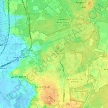
Name: Hoogerheide topographic map, elevation, terrain.
Location: Hoogerheide, Woensdrecht, North Brabant, Netherlands (51.41396 4.29349 51.46680 4.36533)
Average elevation: 14 m
Minimum elevation: -3 m
Maximum elevation: 28 m