
Blakesley topographic map
Interactive map
Click on the map to display elevation.
About this map
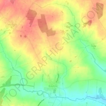
Name: Blakesley topographic map, elevation, terrain.
Location: Blakesley, West Northamptonshire, England, United Kingdom (52.14109 -1.10966 52.17465 -1.05121)
Average elevation: 141 m
Minimum elevation: 102 m
Maximum elevation: 175 m