
Cave Run Lake topographic map
Interactive map
Click on the map to display elevation.
About this map
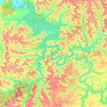
Name: Cave Run Lake topographic map, elevation, terrain.
Location: Cave Run Lake, Menifee County, Kentucky, United States (37.95040 -83.56745 38.12249 -83.33772)
Average elevation: 297 m
Minimum elevation: 200 m
Maximum elevation: 411 m
Other topographic maps
Click on a map to view its topography, its elevation and its terrain.
Denniston
United States > Kentucky > Menifee County
Denniston, Menifee County, Kentucky, 40316, United States
Average elevation: 357 m
Scranton
United States > Kentucky > Menifee County
Scranton, Menifee County, Kentucky, United States
Average elevation: 295 m