
Toteng topographic map
Interactive map
Click on the map to display elevation.
About this map
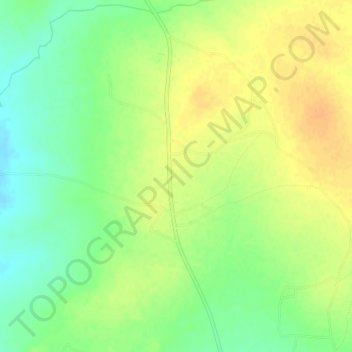
Name: Toteng topographic map, elevation, terrain.
Location: Toteng, North-East District, Botswana (-20.78632 27.23054 -20.74632 27.27054)
Average elevation: 1,108 m
Minimum elevation: 1,091 m
Maximum elevation: 1,122 m