纳木那尼峰 topographic map
Interactive map
Click on the map to display elevation.
About this map
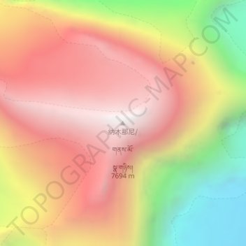
Name: 纳木那尼峰 topographic map, elevation, terrain.
Average elevation: 6,915 m
Minimum elevation: 5,849 m
Maximum elevation: 7,676 m

Click on the map to display elevation.
Name: 纳木那尼峰 topographic map, elevation, terrain.
Average elevation: 6,915 m
Minimum elevation: 5,849 m
Maximum elevation: 7,676 m