
Al Gutaina topographic map
Interactive map
Click on the map to display elevation.
About this map
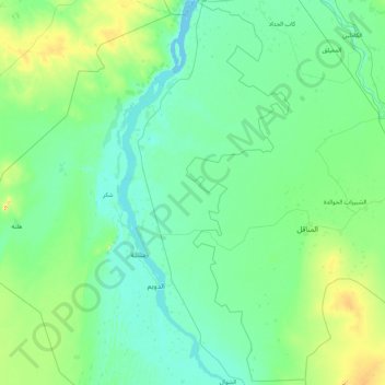
Name: Al Gutaina topographic map, elevation, terrain.
Location: Al Gutaina, White Nile State, Sudan (13.56720 32.04554 15.23100 32.90372)
Average elevation: 404 m
Minimum elevation: 378 m
Maximum elevation: 616 m
Other topographic maps
Click on a map to view its topography, its elevation and its terrain.
Dereia
Sudan > White Nile State > Kosti
Dereia, Kosti, White Nile State, Sudan
Average elevation: 387 m
Rabak
Sudan > White Nile State > Rabak
Rabak, Al Jabalian, White Nile State, Sudan
Average elevation: 393 m