
Seward County topographic map
Interactive map
Click on the map to display elevation.
About this map
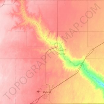
Name: Seward County topographic map, elevation, terrain.
Location: Seward County, Kansas, United States of America (36.99795 -101.06811 37.38805 -100.63328)
Average elevation: 866 m
Minimum elevation: 750 m
Maximum elevation: 928 m