
Rochester topographic map
Interactive map
Click on the map to display elevation.
About this map
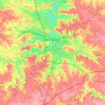
Name: Rochester topographic map, elevation, terrain.
Location: Rochester, Olmsted County, Minnesota, United States (43.88455 -92.57318 44.10825 -92.38900)
Average elevation: 354 m
Minimum elevation: 286 m
Maximum elevation: 407 m