
Försterei topographic map
Interactive map
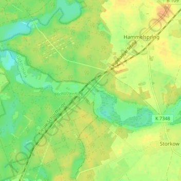
Click on the map to display elevation.
About this map
Name: Försterei topographic map, elevation, terrain.
Location: Försterei, Uckermark, Brandenburg, Germany (53.03911 13.39301 53.07911 13.43301)
Average elevation: 54 m
Minimum elevation: 37 m
Maximum elevation: 68 m