
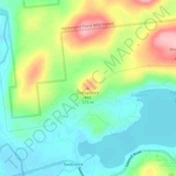
Gooseberry Hill topographic map
Interactive map
Click on the map to display elevation.
About this map
Name: Gooseberry Hill topographic map, elevation, terrain.
Location: Gooseberry Hill, Essex County, New York, 12872, USA (43.88751 -73.72740 43.88761 -73.72730)
Average elevation: 304 m
Minimum elevation: 248 m
Maximum elevation: 411 m
Other topographic maps
Click on a map to view its topography, its elevation and its terrain.