
Strathcona Regional District topographic map
Interactive map
Click on the map to display elevation.
About this map
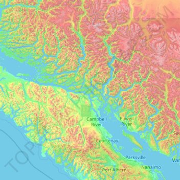
Name: Strathcona Regional District topographic map, elevation, terrain.
Location: Strathcona Regional District, British Columbia, Canada (49.47802 -127.98986 51.32784 -123.68315)
Average elevation: 775 m
Minimum elevation: -3 m
Maximum elevation: 3,788 m
Other topographic maps
Click on a map to view its topography, its elevation and its terrain.