
Escanaba topographic map
Interactive map
Click on the map to display elevation.
About this map
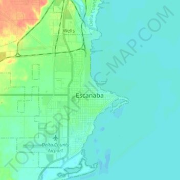
Name: Escanaba topographic map, elevation, terrain.
Location: Escanaba, Delta County, Michigan, 49829, USA (45.70439 -87.16249 45.79176 -87.03576)
Average elevation: 182 m
Minimum elevation: 173 m
Maximum elevation: 223 m