
Baztan topographic map
Interactive map
Click on the map to display elevation.
About this map
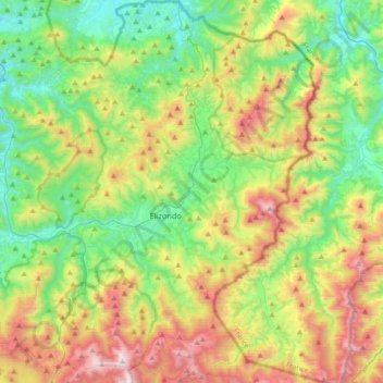
Name: Baztan topographic map, elevation, terrain.
Location: Baztan, Navarre, Spain (43.03106 -1.64723 43.29465 -1.37638)
Average elevation: 521 m
Minimum elevation: 49 m
Maximum elevation: 1,405 m
Other topographic maps
Click on a map to view its topography, its elevation and its terrain.