
Council Bluffs topographic map
Interactive map
Click on the map to display elevation.
About this map
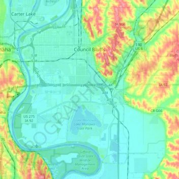
Name: Council Bluffs topographic map, elevation, terrain.
Location: Council Bluffs, Pottawattamie County, Iowa, USA (41.17486 -95.92807 41.29003 -95.76529)
Average elevation: 313 m
Minimum elevation: 291 m
Maximum elevation: 386 m