
Lansing topographic map
Interactive map
Click on the map to display elevation.
About this map
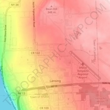
Name: Lansing topographic map, elevation, terrain.
Location: Lansing, Lansing Town, Tompkins County, New York, USA (42.47731 -76.51925 42.51442 -76.45057)
Average elevation: 294 m
Minimum elevation: 111 m
Maximum elevation: 377 m