
Saint-Laurent-le-Minier topographic map
Interactive map
Click on the map to display elevation.
About this map
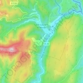
Name: Saint-Laurent-le-Minier topographic map, elevation, terrain.
Average elevation: 387 m
Minimum elevation: 145 m
Maximum elevation: 830 m