
Ferns Upper topographic map
Interactive map
Click on the map to display elevation.
About this map
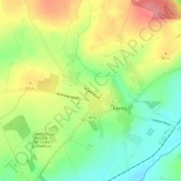
Name: Ferns Upper topographic map, elevation, terrain.
Location: Ferns Upper, Ferns, County Wexford, Leinster, Ireland (52.58875 -6.51846 52.59620 -6.48946)
Average elevation: 59 m
Minimum elevation: 17 m
Maximum elevation: 107 m