
Khayelitsha topographic map
Interactive map
Click on the map to display elevation.
About this map
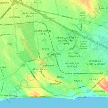
Name: Khayelitsha topographic map, elevation, terrain.
Location: Khayelitsha, City of Cape Town, Western Cape, 7784, RSA (-34.08059 18.62742 -34.00059 18.70742)
Average elevation: 26 m
Minimum elevation: -1 m
Maximum elevation: 76 m