
The Villages at Mount Hood topographic map
Interactive map
Click on the map to display elevation.
About this map
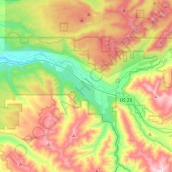
Name: The Villages at Mount Hood topographic map, elevation, terrain.
Location: The Villages at Mount Hood, Clackamas County, Oregon, USA (45.30294 -122.13441 45.40378 -121.88241)
Average elevation: 797 m
Minimum elevation: 256 m
Maximum elevation: 1,504 m