
Tandridge topographic map
Interactive map
Click on the map to display elevation.
About this map
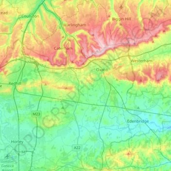
Name: Tandridge topographic map, elevation, terrain.
Location: Tandridge, Surrey, South East, England, United Kingdom (51.13677 -0.15499 51.33871 0.05822)
Average elevation: 114 m
Minimum elevation: 34 m
Maximum elevation: 271 m