
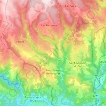
Saint-Pierre-de-Nogaret topographic map
Interactive map
Click on the map to display elevation.
About this map
Name: Saint-Pierre-de-Nogaret topographic map, elevation, terrain.
Average elevation: 861 m
Minimum elevation: 472 m
Maximum elevation: 1,289 m