
Rock County topographic map
Interactive map
Click on the map to display elevation.
About this map
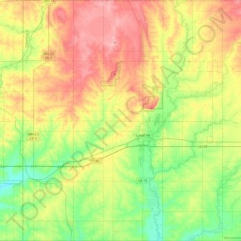
Name: Rock County topographic map, elevation, terrain.
Location: Rock County, Minnesota, USA (43.50009 -96.45341 43.84949 -96.05256)
Average elevation: 469 m
Minimum elevation: 411 m
Maximum elevation: 547 m