
Hell Bourg topographic map
Interactive map
Click on the map to display elevation.
About this map
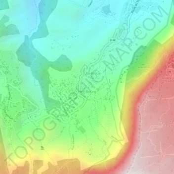
Name: Hell Bourg topographic map, elevation, terrain.
Location: Hell Bourg, Saint-Benoît, Réunion, France (-21.07116 55.51580 -21.05587 55.52930)
Average elevation: 1,039 m
Minimum elevation: 614 m
Maximum elevation: 1,686 m