
South Norfolk topographic map
Interactive map
Click on the map to display elevation.
About this map
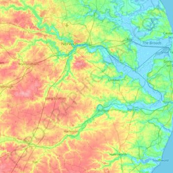
Name: South Norfolk topographic map, elevation, terrain.
Location: South Norfolk, Norfolk, East of England, England, United Kingdom (52.35534 0.94701 52.67852 1.68263)
Average elevation: 28 m
Minimum elevation: -4 m
Maximum elevation: 74 m