
Pigna topographic map
Interactive map
Click on the map to display elevation.
About this map
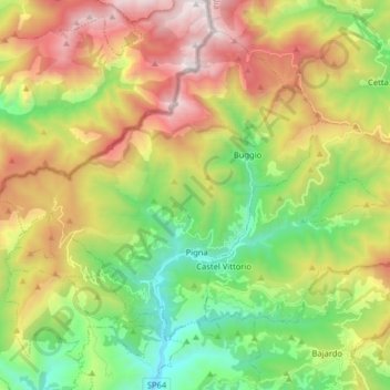
Name: Pigna topographic map, elevation, terrain.
Location: Pigna, IM, Liguria, 18037, Italy (43.90073 7.58158 43.99841 7.74135)
Average elevation: 908 m
Minimum elevation: 130 m
Maximum elevation: 2,017 m